Saturday 7 November 2026, 20km, 5hrs, 230m elevation
Setting off from Warkworth Beach
We started our third day on the Northumberland Coast Path at Warkworth Beach Car Park. We’d already completed the section from Amble to Warkworth Beach on an earlier walk, so there was no need to drag ourselves up from Warkworth village to reach the coast again.
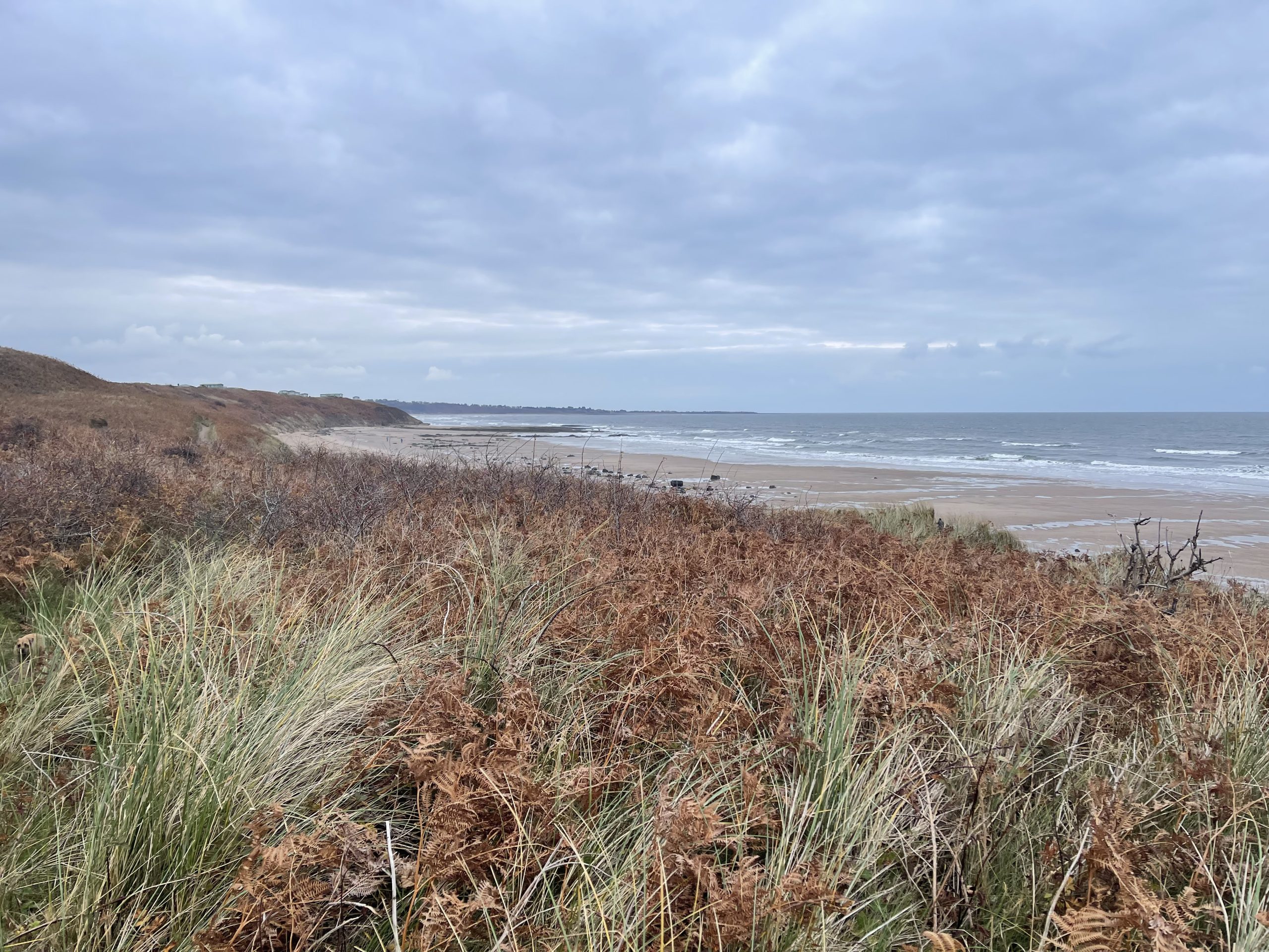
The route didn’t take us down onto the beach. Instead, we followed good paths through the dunes, alongside the first golf course of the day. It was pleasant, relatively easy walking, and we were able to settle into a comfortable pace as we headed north towards Alnmouth.
A Different View of Alnmouth
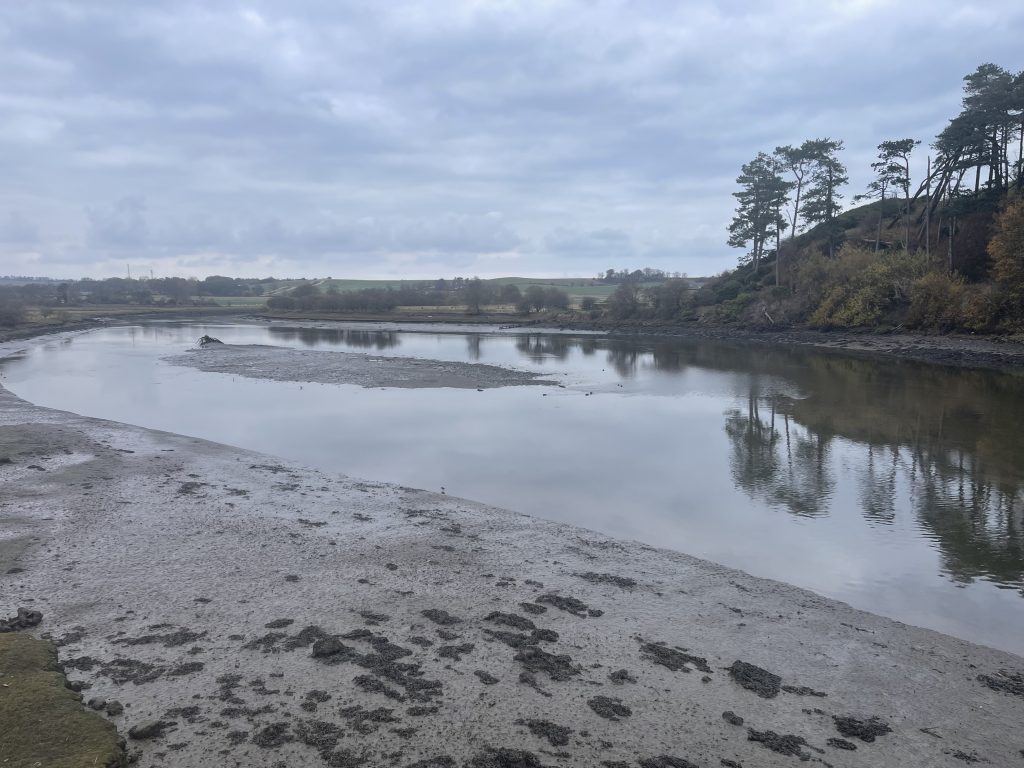
Approaching the River Aln estuary, the Coast Path took us inland rather than directly across towards Alnmouth. I’d wondered whether I might find this frustrating, particularly when our destination was further north along the coast, but it turned out to be an enjoyable part of the walk.
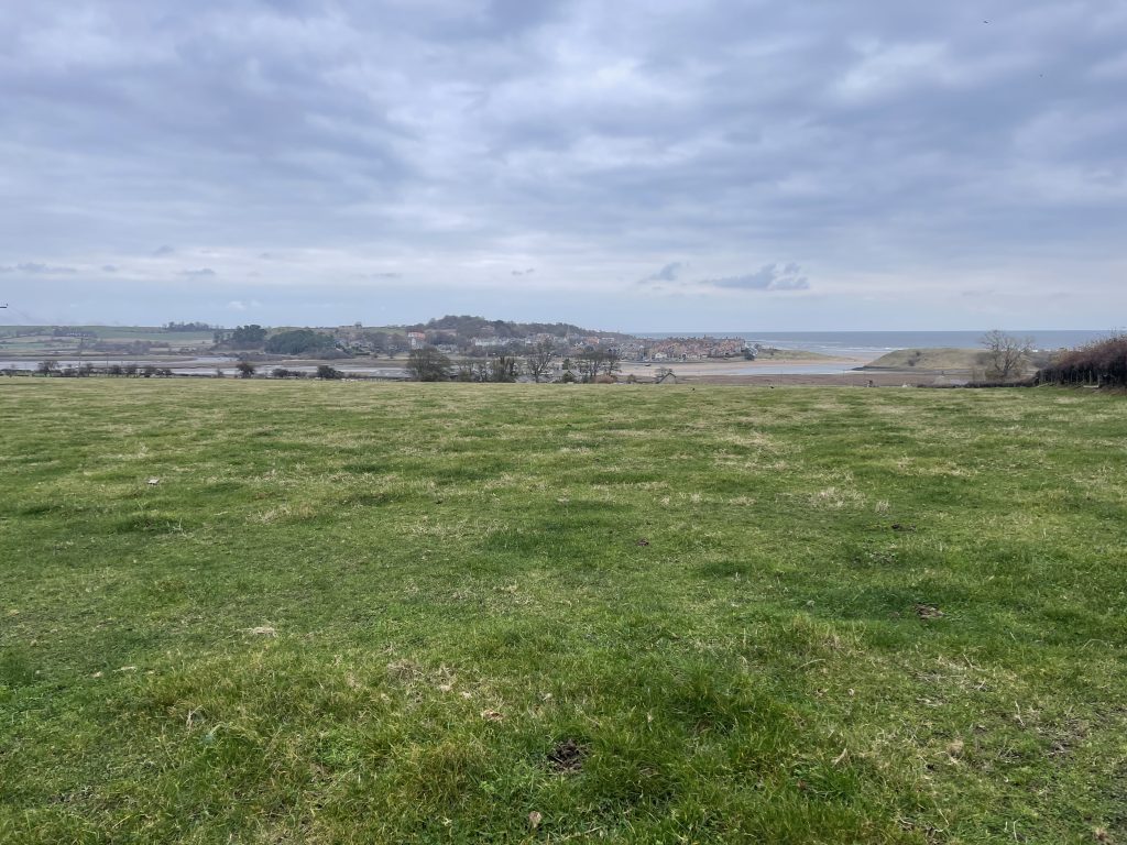
The paths alongside the roads weren’t particularly attractive, although they were easy underfoot. More importantly, the detour gave us an opportunity to see the estuary and Alnmouth from a different direction. Sometimes that’s one of the pleasures of walking somewhere rather than simply arriving by car.
We made our way along Northumberland Street through the centre of Alnmouth, talking about how strange it felt to be there without a car. We’ve visited Alnmouth many times over the years, particularly its beautiful beach, but this was a different experience. Rather than arriving, parking and spending time in the village, we were simply passing through on our way somewhere else.
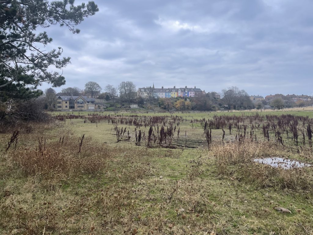
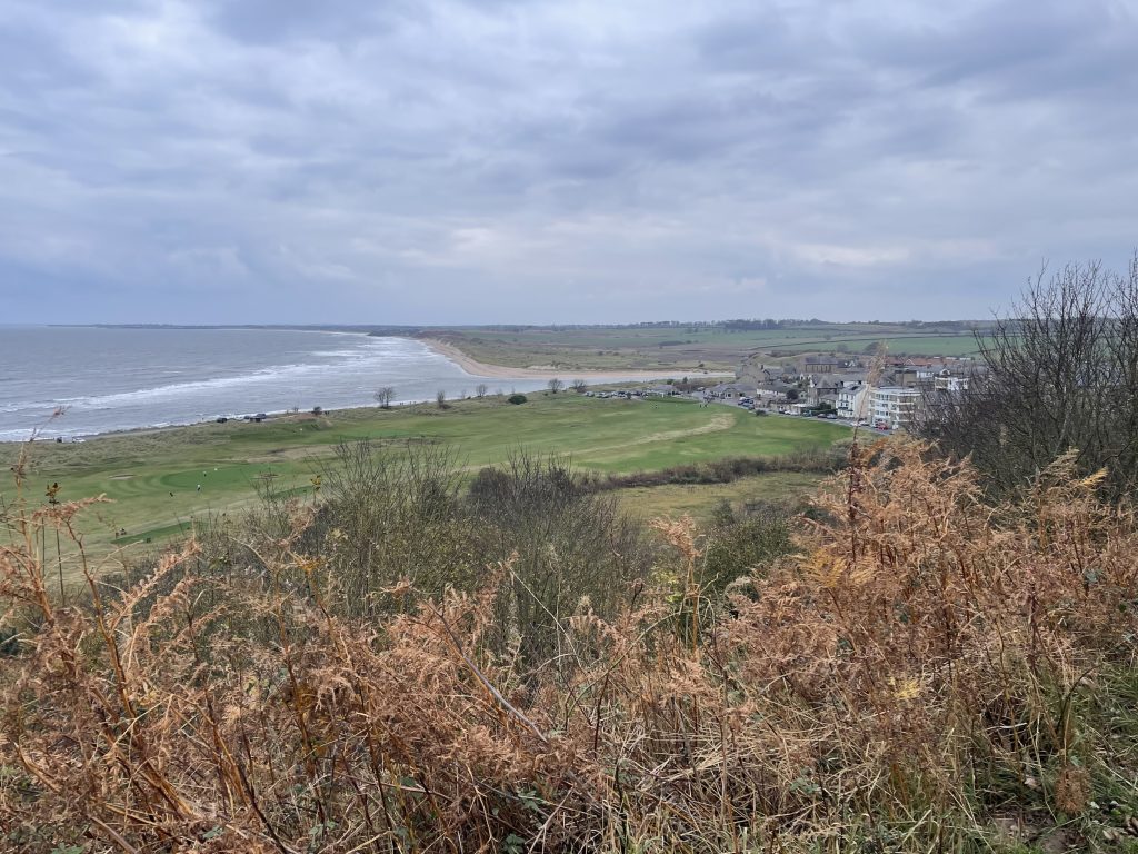
Leaving the village, the path climbed onto higher ground, giving us a wonderful view looking south across Alnmouth’s sweeping beach. It was somewhere we knew very well, but from an angle we’d rarely experienced before.
Golf Courses, Coastal Views and Wildlife
The path continued north, looking down over Alnmouth Village Golf Course before passing alongside Alnmouth Golf Club a little further on. This was the second golf course of the day, and once again the walking was relatively easy, with some lovely views across the shoreline.
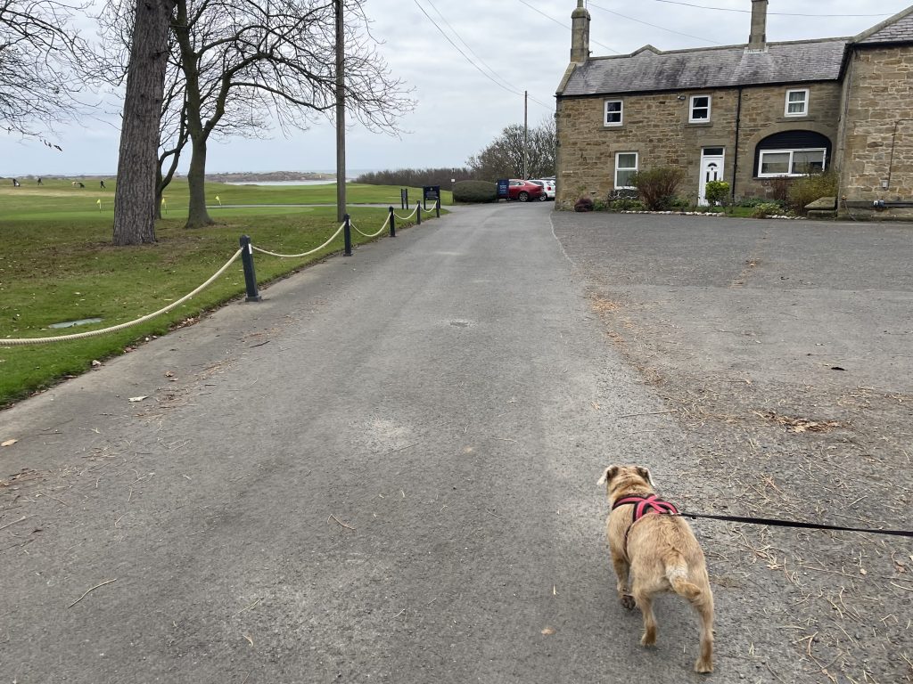
We were also fortunate with the wildlife. We spotted several kestrels along the route, including one particularly memorable encounter when we were high enough above the shoreline to look down on a kestrel hovering below us. Usually we’re looking up at birds of prey, so seeing one from above was quite something.
There was plenty of other birdlife too, including heron, buzzard, oystercatchers and bullfinches. It’s one of the things I enjoy about these coastal walks. There’s always something happening around us, and having the time to notice it is part of the pleasure.
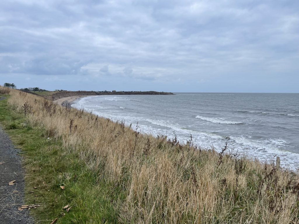
Another feature of this stretch of coastline was the number of small clusters of static caravans. They weren’t enormous holiday parks, just groups of caravans appearing here and there along the route. Some seemed surprisingly remote, and we found ourselves wondering how easy it could be to reach them. It wasn’t particularly good or bad, simply something we’d noticed as we walked.
Boulmer and the Growing Distance
At around 10 km, we were all feeling remarkably good. Hayley and I were enjoying the walk, and Chewy and Ted still had a spring in their step. The paths had generally been kind to us, the scenery was lovely, and we were making good progress.
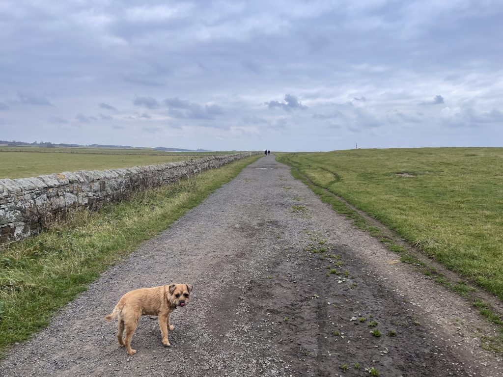
We reached Boulmer at approximately 13 km, by which point we’d been walking for around three hours. That was when we began to notice the distance. Nothing dramatic, but the accumulated time on our feet was starting to make itself felt.
We carried on north towards Howick, enjoying the coastline but becoming increasingly aware that we’d already walked a fair way. By the time we reached Howick, at around 17 km, we’d all agreed that we’d probably walked enough for one day.
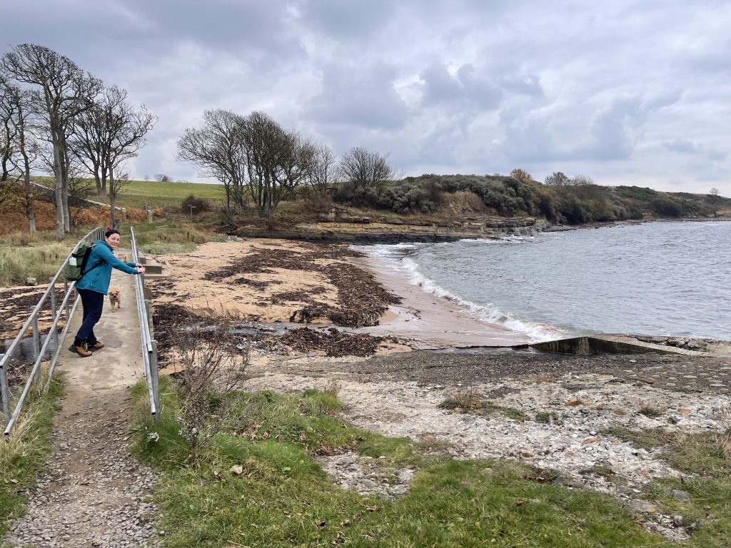
We joked that it would be perfectly acceptable if we rounded the next corner and found the car waiting for us. Unfortunately, that wasn’t going to happen. We still had another three kilometres to cover before reaching Craster.
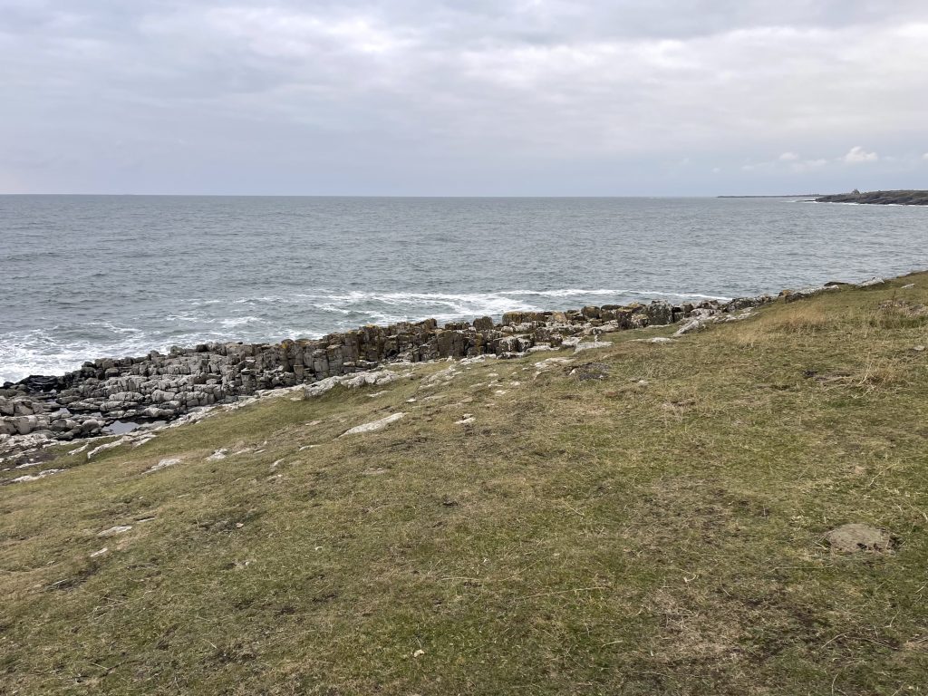
Around Cullernose Point to Craster
The final stretch took us around the exposed Cullernose Point before continuing towards Craster. It’s a beautiful section of coastline,
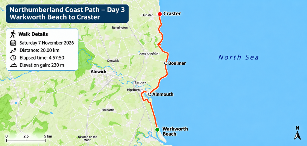
Walk Details and Route Map
Northumberland Coast Path – Day 3: Warkworth Beach to Craster
- Date: Saturday 7 November 2026
- Start: Warkworth Beach Car Park
- Finish: Craster (The Jolly Fisherman)
- Distance: 20.00 km
- Elapsed time: 4 hours 57 minutes 50 seconds
- Elevation gain: 230 m
- Route: Warkworth Beach → Alnmouth → Boulmer → Howick → Cullernose Point → Craster
- Terrain: Mostly good coastal paths, dune paths, some roadside walking and exposed headland sections.
- Dogs: Chewy and Ted accompanied us throughout.
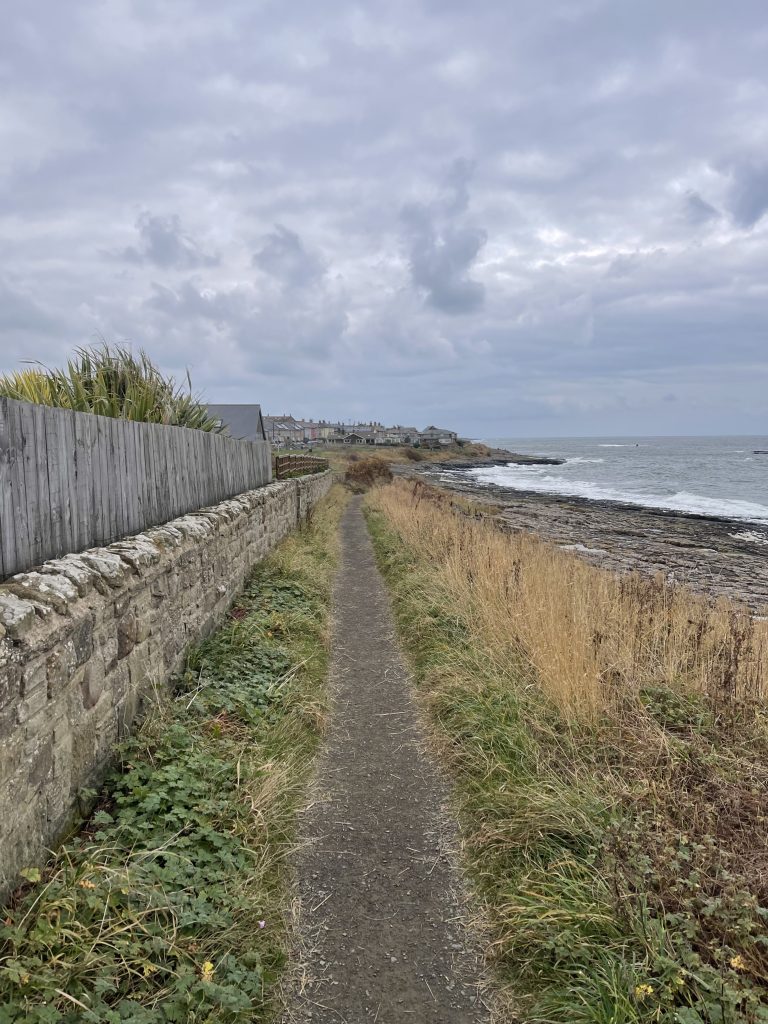
The route follows the Northumberland Coast Path north from Warkworth Beach, taking an inland diversion around the River Aln estuary before passing through Alnmouth. From there, it continues along the coastline through Boulmer and Howick, around Cullernose Point and into Craster.
The map below shows our recorded route for the day.