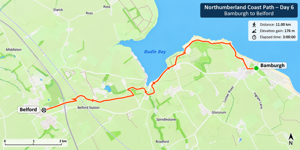
Sunday 15 November 2026, 11km, 3 hours, Elevation gain: 176 m
A Wet Start to Our Final Day
After two enjoyable days walking along the Northumberland coast, Sunday was looking rather less promising. The forecast was for rain, so we decided to get moving as quickly as possible.
We had a quick breakfast in Rocky, packed up and left Springhill Farm. First stop was Belford, where we left Rocky near the old golf course, ready for the end of the walk. Then it was back to Bamburgh in the car to begin our final section of the weekend.
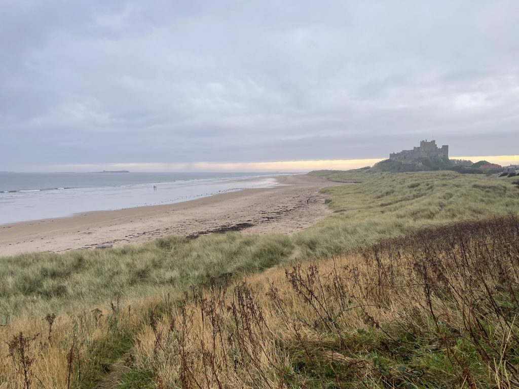
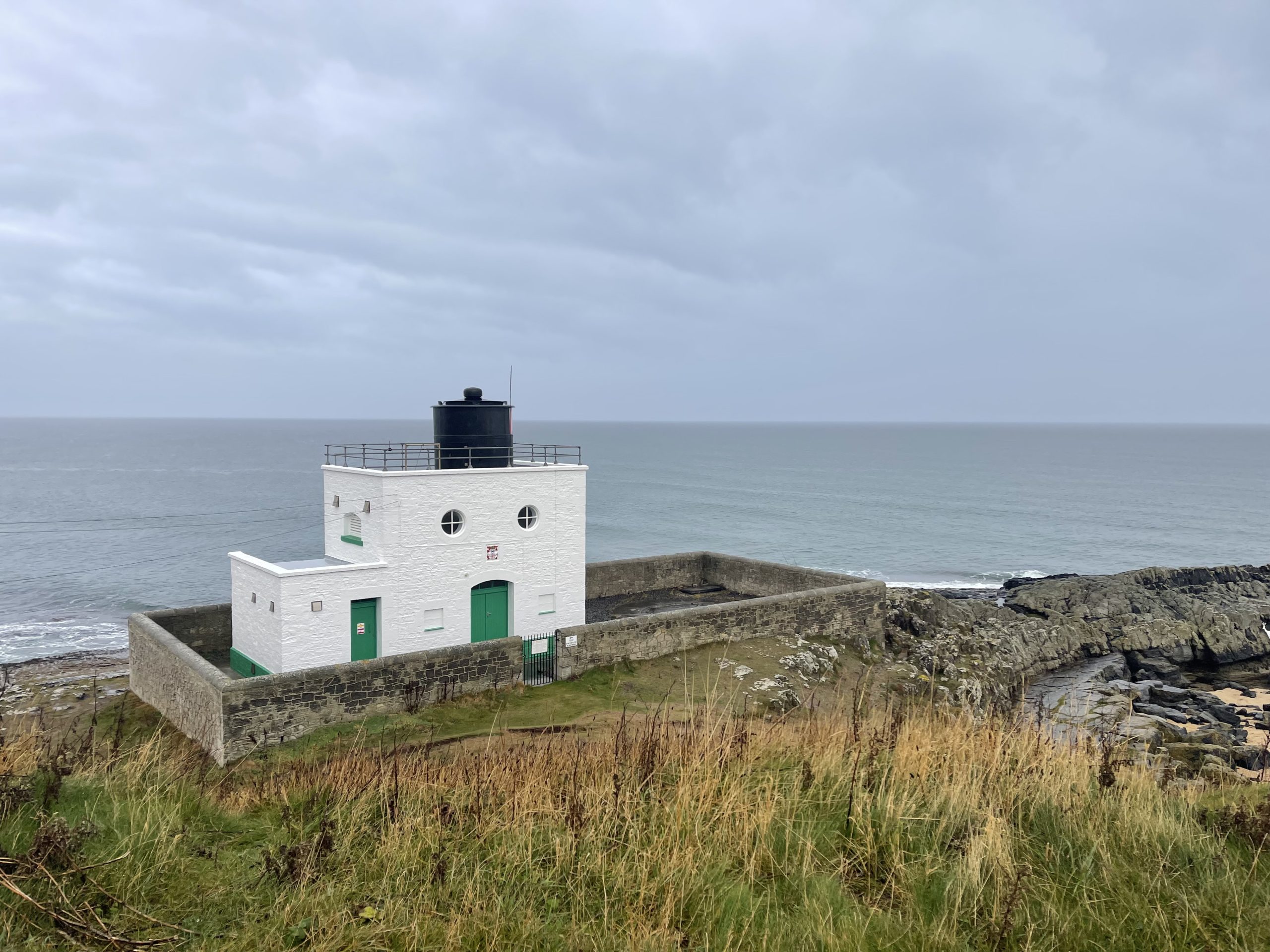
We were hoping to get ahead of the rain, but it wasn’t long before we were walking in it. The weather was miserable, and the camera spent most of the day tucked away in my pocket.
Beautiful Budle Bay
Leaving Bamburgh behind, we followed the Coast Path towards Budle Bay. Despite the weather, this was easily the highlight of the day.
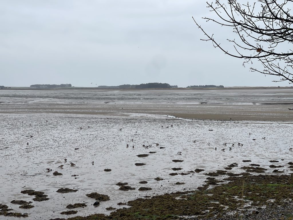
Budle Bay was absolutely stunning. The tide was out, revealing enormous stretches of sand and mudflats, with the coastline sweeping around the bay into the distance.
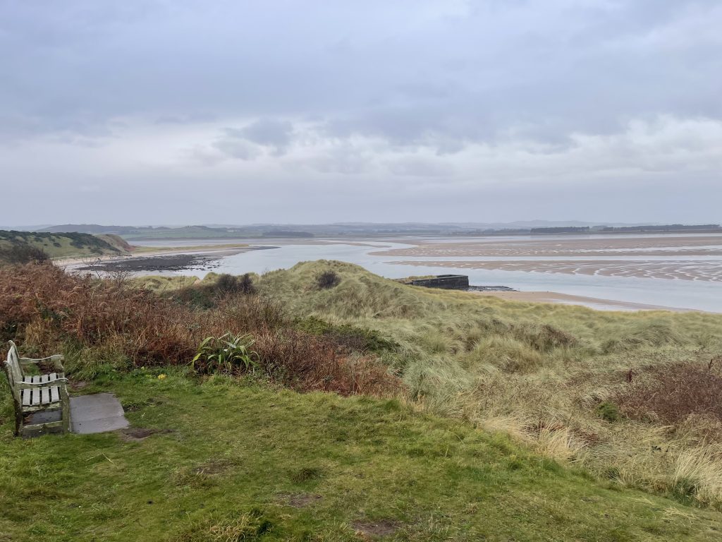
Even under the grey November sky, it was a wonderful sight. We stopped to admire the views and agreed that we’d love to come back and see it on a beautiful sunny day.
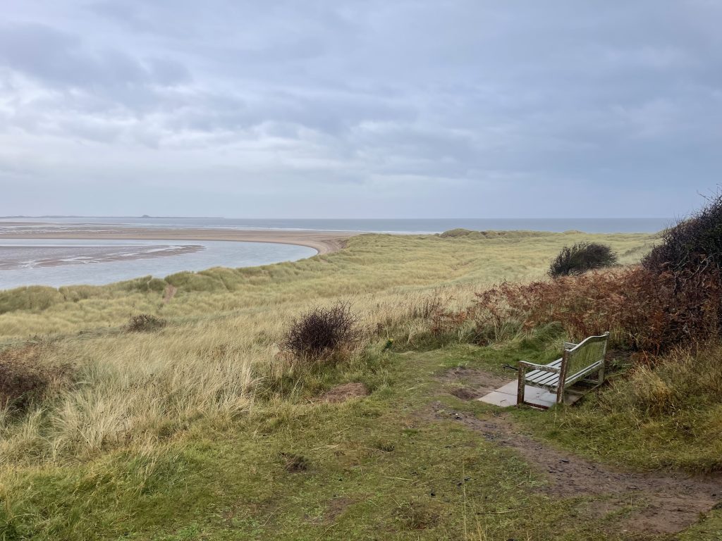
It was certainly one of the most memorable places we’d encountered on our Northumberland Coast Path walks so far.
Heading Inland
Unfortunately, once we left Budle Bay behind, the walk became rather less enjoyable. The route took us away from the coastline and inland towards Belford, across farmland and through some surprisingly hilly countryside.
The fields weren’t particularly muddy, although I can imagine they could become quite unpleasant further into winter. The stiles, however, were rubbish! We repeatedly found ourselves having to lift Chewy and Ted over them. Some of the kissing gates weren’t much better, being so narrow that we had to remove our rucksacks just to squeeze through.
The waymarking was frustrating, too. The path seemed to be really well marked in places where you couldn’t possibly get lost, and almost completely unmarked where you actually needed some guidance.
And then there were the crossings of the East Coast Main Line railway and the A1. After days of beautiful beaches, castles, dunes and spectacular coastal scenery, negotiating two of the country’s major transport routes felt like quite a contrast.
Is This Really a Coast Path?
As we approached Belford, the route took us through an industrial property on a particularly unpleasant stretch of path.
By this point, I think we’d all agreed that this was probably our least favourite section of the Northumberland Coast Path so far. And that wasn’t simply because of the awful weather. It also reinforced something I’ve been thinking about for a while.
The King Charles III England Coast Path is an impressive undertaking, but sometimes it feels less like a carefully designed long-distance walking route and more like a collection of existing paths joined together wherever a connection could be found.
I appreciate that establishing a continuous route around England’s coastline must involve enormous practical challenges, not least access rights and land ownership. But there is a difference between creating a continuous route and creating a good route.
Perhaps that’s an unfair judgement based on one disappointing section. Nevertheless, after the spectacular coastal walking we’d enjoyed over the previous two days, this felt like a rather uninspiring way to finish our weekend.
A Welcome Sight in Belford
We were certainly pleased to see Rocky waiting for us beside Belford’s former golf course. After three hours of walking, much of it in the rain, we were ready to get warm and dry.
We quickly dried ourselves and the dogs, grabbed a sandwich and got on our way home.It hadn’t been our favourite walk, but Budle Bay had been magnificent, even in the miserable weather.
And looking back over the weekend, we’d completed another 33.37 km of our journey along the Northumberland Coast Path.
Three very different walks, some wonderful scenery, and another good adventure with Hayley, Chewy and Ted.
Walk Details and Route Map
- Date: Sunday 15 November 2026
- Start: Bamburgh
- Finish: Belford
- Distance: 11.00 km
- Elapsed time: 3 hours
- Elevation gain: 176 m
- Average speed: 3.67 km/h
- Route: Bamburgh → Budle Bay → inland farmland → Belford
- Terrain: Coastal paths, farmland, hills, stiles and gates
- Dogs: Chewy and Ted accompanied us throughout
The route initially follows the Northumberland coastline west from Bamburgh towards Budle Bay, before turning inland across farmland towards Belford.
The route includes crossings of the East Coast Main Line railway and the A1, along with several stiles and narrow kissing gates that may be awkward for walkers with dogs.